Çatalpınar
| Çatalpınar | |
|---|---|
| District | |
 Location of Çatalpınar within Turkey. |
|

Çatalpınar
|
|
| Coordinates: Lua error in package.lua at line 80: module 'strict' not found. | |
| Country | |
| Region | Black Sea |
| Province | Ordu |
| Government | |
| • Mayor | Ahmet Türe (AKP) |
| Area[1] | |
| • District | 47.06 km2 (18.17 sq mi) |
| Elevation | 22 m (72 ft) |
| Population (2012)[2] | |
| • Urban | 5,194 |
| • District | 14,695 |
| • District density | 310/km2 (810/sq mi) |
| Time zone | EET (UTC+2) |
| • Summer (DST) | EEST (UTC+3) |
| Postal code | 52xxx |
| Area code(s) | 0452 |
| Licence plate | 52 |
| Climate | Cfa |
| Website | www.catalpinar.bel.tr |
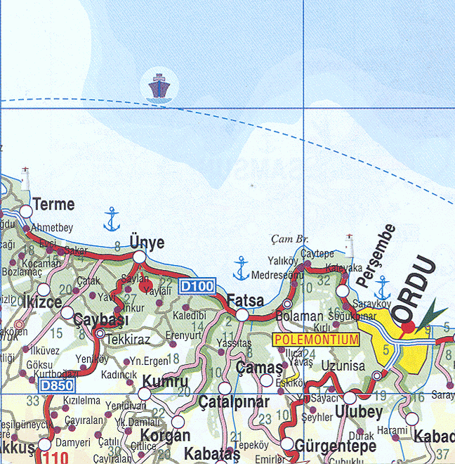
Çatalpınar is a town and district of Ordu Province in the Black Sea region of Turkey, 56 km from the city of Ordu and 20 km from the town of Fatsa. According to the 2000 census, population of the district is 23,192 of which 10,265 live in the town of Çatalpınar.[3][4] The district covers an area of 47 km2 (18 sq mi),[5] and the town lies at an elevation of 22 m (72 ft).
The local economy depends on agriculture, particularly growing hazelnuts and grazing animals. There is a mineral water spring in the village of Elmaköy.
Notes
- ↑ Lua error in package.lua at line 80: module 'strict' not found.
- ↑ Lua error in package.lua at line 80: module 'strict' not found.
- ↑ Lua error in package.lua at line 80: module 'strict' not found.
- ↑ Lua error in package.lua at line 80: module 'strict' not found.
- ↑ Lua error in package.lua at line 80: module 'strict' not found.
References
- Lua error in package.lua at line 80: module 'strict' not found.
External links
- District governor's official website (Turkish)
- Road map of Çatalpınar and environs
- Detailed map of Çatalpınar district
- Various images of Çatalpınar, Ordu
|
Çatalpınar in Ordu Province of Turkey
|
|||||||||||||||||||||||||||
|---|---|---|---|---|---|---|---|---|---|---|---|---|---|---|---|---|---|---|---|---|---|---|---|---|---|---|---|
| Districts |
|
||||||||||||||||||||||||||
|
|||||||||||||||||||||||||||
|
Metropolitan municipalities are bolded.
|
|||||||||||||||||||||||||||
Lua error in package.lua at line 80: module 'strict' not found.
<templatestyles src="Asbox/styles.css"></templatestyles>
|
This geographical article about a location in Ordu Province, Turkey is a stub. You can help Wikipedia by expanding it. |