File:Doggerland.svg
From Infogalactic: the planetary knowledge core

Size of this PNG preview of this SVG file: 545 × 600 pixels. Other resolution: 218 × 240 pixels.
Original file (SVG file, nominally 545 × 600 pixels, file size: 165 KB)
Summary
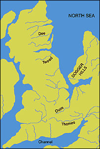
An image of the area known as Doggerland which connected the British Isles and the European continent. Loosely based on two images, found <a rel="nofollow" class="external text" href="http://www.bevpease.force9.co.uk/p.Flood_files/image002.jpg">here</a> and <a rel="nofollow" class="external text" href="http://humanities.exeter.ac.uk/archaeology/research/projects/title_89282_en.html">here</a>, however drawing work was all done in Illustrator by myself. Norway has been excluded from the map.
Licensing
Lua error in package.lua at line 80: module 'strict' not found.
File history
Click on a date/time to view the file as it appeared at that time.
| Date/Time | Thumbnail | Dimensions | User | Comment | |
|---|---|---|---|---|---|
| current | 19:23, 4 January 2017 | | 545 × 600 (165 KB) | 127.0.0.1 (talk) | An image of the area known as Doggerland which connected the British Isles and the European continent. Loosely based on two images, found <a rel="nofollow" class="external text" href="http://www.bevpease.force9.co.uk/p.Flood_files/image002.jpg">here</a> and <a rel="nofollow" class="external text" href="http://humanities.exeter.ac.uk/archaeology/research/projects/title_89282_en.html">here</a>, however drawing work was all done in Illustrator by myself. Norway has been excluded from the map. |
- You cannot overwrite this file.
File usage
The following 6 pages link to this file: