Claremont, Ontario
<templatestyles src="Module:Hatnote/styles.css"></templatestyles>
| Claremont | |
|---|---|
| Unincorporated community | |
| Coordinates: Lua error in package.lua at line 80: module 'strict' not found. | |
| Country | Canada |
| Province | Ontario |
| Regional municipality | Durham |
| City | Pickering |
| Established | 1840 |
| Area | |
| • Total | 5 km2 (2 sq mi) |
| Elevation | 266 m (873 ft) |
| Population (2006)Community Profile | |
| • Total | 2,779 |
| Time zone | EST (UTC-5) |
| • Summer (DST) | EDT (UTC-4) |
| Forward sortation area | L1S, L1T, L1Y, L1Z |
| Area code(s) | 905[1] |
| NTS Map | 030M14 |
| GNBC Code | FARBB |
Claremont is a Southern Ontario community located in the north part of the City of Pickering, Ontario, Canada. Historically, Claremont was part of Pickering Township, Ontario County, Ontario[2] until 1974 when Ontario County was amalgamated into the Regional Municipality of Durham established at that time.
It is one of many rural villages with suburban type housing mixed with older, historic buildings in the Greater Toronto Area. Brock Road, the main north-south Regional road in the area was realigned to bypass the village to the east in 1970. Claremont is situated just below the Oak Ridges Moraine in the Greenbelt. Typical of the moraine countryside, around 50 to 70% of the land area around Claremont is forested. The remaining land around the village is wooded farmland and streams.
Until the establishment of regional government in 1974, the municipal offices of the former Township of Pickering were located in Claremont.
Access to and traffic through Claremont increased greatly with the completion of the eastern extension of the Highway 407 highway, terminating at the Brock Road exit which opened in 2001.
The Havelock Subdivision of the Canadian Pacific Railway runs through Claremont. This line is used for freight traffic, but there have been proposals for the return of passenger service as part of a GO Transit expansion to Peterborough.
Claremont is located 20 km northwest of Oshawa and about 55 km northeast of downtown Toronto.
Contents
Nearest places
- Markham, west
- Whitchurch-Stouffville, northwest
- Uxbridge, north
- Brooklin, east
- Greenwood, southeast
- Pickering, south
Geography and information
- Population: approximately 2,779 (2006) [3]
- Name of inhabitants: - sing., -s pl.
History
In 1972, the Government of Canada expropriated 7,530 ha of land just west of Claremont for a possible future airport.
Indeed, by the late-1990s, the Greater Toronto Airport Authority (GTAA) there were plans initiated to build the airport, to be named the Pickering International Airport which would be constructed to relieve congestion at Pearson International Airport, located some 70 km to the southwest. This new airport was also going to become the main cargo facility for the Greater Toronto Area.
But air traffic at Pearson declined in the years to follow and is only slowly returning (although it has not reached) to previous passenger volumes.
Also, terminal expansion at Pearson and the massive Cargo infield development by the GTAA have further delayed Pickering Airport from becoming a reality, at least in the near future. But in 2005, there has been renewed discussion about airport construction. The plan anticipates 11.9 million passengers per year (or 32,600 per day) by 2032.[4] A confidential "needs analysis study" was completed by the Greater Toronto Airports Authority for the federal government in May 2010; in summer 2010 Transport Canada began a "due diligence review."[5]
The current landholders, mostly rural farmers are leasing the land from the federal government. Claremont is the closest community to the future airport/terminal building locations.
The Claremont General Store was destroyed by fire in July 2009. The building was built in 1847 and had been operated as a General Store since it was originally built - one of the longest operating General Stores in Canada.[6]
Community features
Claremont has a gas bar and auto repair shop, a fire station and community hall, two churches, a Royal Canadian Legion hall (Branch 438), cafe (Old Brock Cafe), community co-op (which also servers as an Liquor Control Board of Ontario and Beer Store outlet), an elementary school (Claremont Public School), and a branch of the CIBC which has served the community for over 100 years.
Claremont was also the hometown of legendary Canadian painter Tom Thomson, who was born Claremont August 5, 1877.[7] He died July 8, 1917 at Canoe Lake in Algonquin Provincial Park. His death is still a mystery today.
Claremont has its first fully private custom tattoo studio. Ninjew Tattoo is owned and operated by Sean Martell who has been servicing the community since 2013
Community events
Yard Sale Day
Claremont is well known in the local area for its annual "Yard Sale Day", an event where all residents are invited to host simultaneous garage/yard sales. The sale is typically held on the second or third Saturday of June and has been known to draw well over 1000 visitors and bargain hunters to the small hamlet. Due to its popularity, the annual event also spawns fundraisers, BBQs, and other community gatherings.
Winter Carnival
Claremont remains a vibrant and active community even through the cold of winter with its annual Winter Carnival that marks a week's worth of events in January or February. The most popular of these events include a winter parade through town, a teen dance at the local community centre, karaoke at the Legion, and the highly anticipated Trapper's Ball, along with a host of traditional winter activities including snowshoeing, tobogganing, family skates at an outdoor community rink, and a neighbourhood snow sculpture contest.
Local government
Claremont is part of the City of Pickering which is governed by an elected city Council consisting of six councillors and one Mayor. The City of Pickering is divided into three wards, each ward electing a City Councillor and a Regional Councillor. Claremont is part of Ward 3.
The current council was elected in November 2011. The members of the council are:
Mayor Dave Ryan
Ward 1 (South West Pickering) City Councillor Kevin Ashe
Ward 1 (South West Pickering) Regional Councillor Jennifer O'Connell
Ward 2 (South & Central Pickering) City Councillor Doug Dickerson
Ward 2 (South & Central Pickering) Regional Councillor Bill McLean
Ward 3 (South East & North Pickering) City Councillor David Pickles
Ward 3 (South East & North Pickering) Regional Councillor Peter Rodrigues
References
- ↑ Lua error in package.lua at line 80: module 'strict' not found.
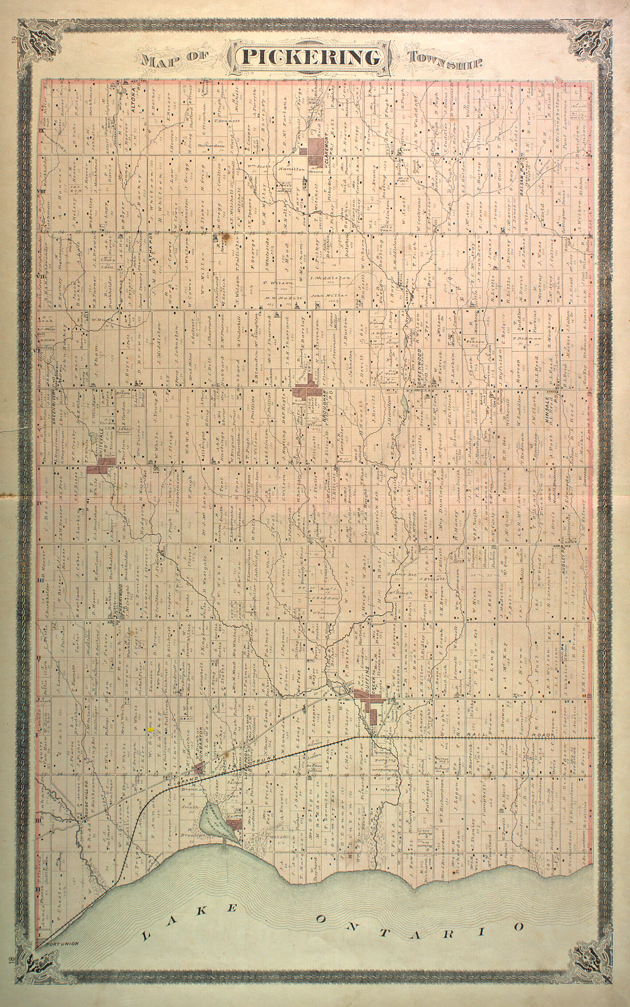
- ↑ http://digital.library.mcgill.ca/countyatlas/images/maps/townshipmaps/ont-m-Pickering.jpg
- ↑ Industry Canada Community Demographics
- ↑ Cf. Transport Canada, Plan Showing Pickering Airport Site; also Greater Toronto Airports Authority, Pickering Airport Draft Plan Report, 6.3. By comparison, Pearson Airport had 32.3 million passengers in 2008, with an average of 1,179 "aircraft movements" per day (GTTA, Toronto Pearson Fast Facts.
- ↑ Keith Gilligan, Pickering News Advertiser, Pickering airport analysis in hands of Transport Canada, (May 19, 2010); L. Cassibo, Uxbridge Cosmos, Pickering Airport Plans Still Grounded, (March 4, 2010), pp. 6, 9; K. Calis, DurhamRegion.com, Liberals Demand Release of Airport Study (Aug. 12, 2010).
- ↑ For the early history of Claremont, cf. Claremont Past and Present: Historic Sketch Written upon Occasion of the Centennial Celebration, 1938.
- ↑ Pickering Ajax Digital Library, Thomson House.
External links
- Claremont Enquirer Website
- Claremont at Geographical Names of Canada
Lua error in package.lua at line 80: module 'strict' not found.