Kasuminome Air Field
From Infogalactic: the planetary knowledge core
| Kasuminome Air Field 霞目飛行場 Kasuminome Hikōjō |
|||||||||||
|---|---|---|---|---|---|---|---|---|---|---|---|
| IATA: none – ICAO: RJSU | |||||||||||
| Summary | |||||||||||
| Airport type | Military | ||||||||||
| Operator | Japan Ground Self-Defense Force | ||||||||||
| Location | Sendai, Japan | ||||||||||
| Elevation AMSL | 23 ft / 7 m | ||||||||||
| Coordinates | Lua error in package.lua at line 80: module 'strict' not found. | ||||||||||
| Map | |||||||||||

RJSU
|
|||||||||||
| Runways | |||||||||||
|
|||||||||||
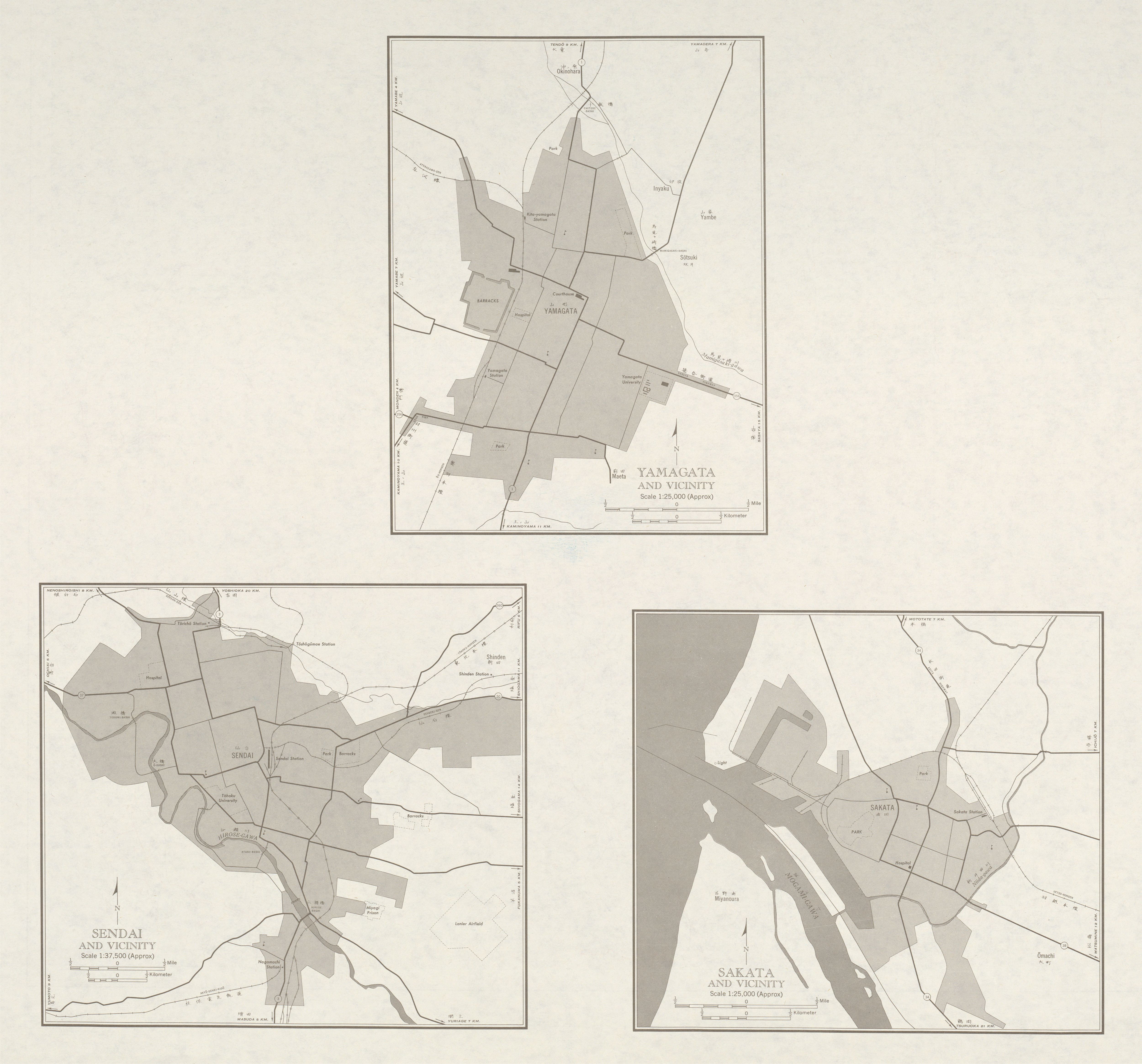
Kasuminome Air Field (霞目飛行場 Kasuminome Hikōjō?) (ICAO: RJSU) is a military aerodrome of the Japan Ground Self-Defense Force Camp Kasuminome (霞目駐屯地 Kasuminome Chūtonchi?). It is located 2.7 NM (5.0 km; 3.1 mi) southeast[1] of Sendai in the Miyagi Prefecture, Japan.
It was called "Lanier Airfield" by the Allied Powers during the Occupation of Japan.[2]
References
|
1 Joint civil-military use
|
|||||||
| Major hubs | |||||||
| International |
|
||||||
| Domestic |
|
||||||
| General aviation | |||||||
| Military | |||||||
| Heliports | |||||||
| Defunct | |||||||
<templatestyles src="Asbox/styles.css"></templatestyles>
|
This article about a Japanese airport is a stub. You can help Wikipedia by expanding it. |
<templatestyles src="Asbox/styles.css"></templatestyles>
|
This Miyagi Prefecture location article is a stub. You can help Wikipedia by expanding it. |